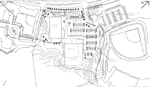
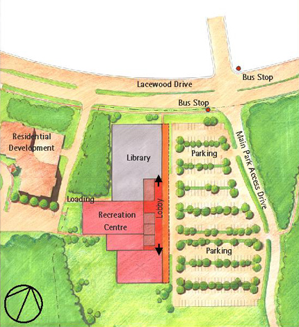
Site Plan
- The Site Plan was developed through a careful analysis of the site conditions topography, existing vegetation, drainage and site access.
- Programs for both the Library and the Recreation Facility were developed and layout requirements defined. Phasing issues concerning the two phase development of the site beginning with the Library and concluding with the Recreation Facility was illustrated in distinct site plans.
- A thorough analysis of access, circulation, parking issues and landscape design issues were developed for each Phase of the project.
Building Program
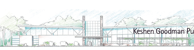
- The Keshen Goodman Public Library is a 2,400 square metre (26,000 square feet) building. Design and construction will proceed immediately.
- The Recreation Facility (4,675 square metres - 50,300 square feet) will be owned and operated by the Parks and Recreation Services Department of the Halifax Regional Municipality. The building is being planned but will not be built until funding is made available.
- The different sources of funding for the two facilities means that the project will be built in two distinct phases.
Site Analysis
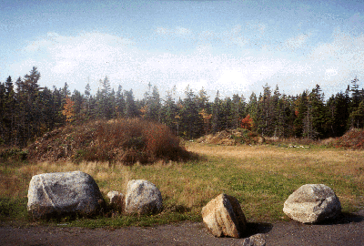
- The site occupies 2.5 hectares (6 acres) at the eastern entrance to the Mainland Commons park property in the Clayton Park area of Halifax.
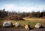
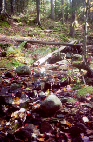
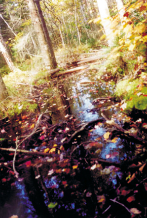
- The site is currently wooded with softwood forest and has shallow soils over bedrock.
- The site is rugged with a 14 metre change in elevation from the southwest corner of the site to the northern boundary. In order to create level building sites and parking lots, fill will have to be placed on the site. Cutting will be kept to a minimum.
- Sections of the site are poorly drained. The natural drainage on the site moves from the southeast corner of the site to a low point at the north of the site where a culvert leads under Lacewood Drive. Landfilling of the site to create level parcels for building and parking will interrupt the drainage course. Water will be diverted to the eastern boundary of the site and fill will be used to create a water retention basin along the north side of the site between the Library building and Lacewood Drive.
- The current access road will be improved to provide access to Phase 1 of the development. In Phase 2, a new entrance road needs to be constructed to Mainland Commons.
- Visibility into the site from Lacewood Drive will be important both as a security issue and to orient visitors to the entrances of the two facilities. The entrances to both the Library and the Recreational Facility are at the same elevation as Lacewood Drive.
- Power, water and sewage connections are available from the site entrance at Lacewood Drive.
- Construction on the site will require a significant amount of site work because both buildings will require large flat surface areas. Phasing of the development works well because Phase 1 can be completed in the low areas along the north side of the site without significant intervention in the southern end of the site. Phase 2 will require more investment in site infrastructure.
|


Surrounding forest area
Surrounding playing fields
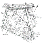
Survey of the Public Library and Recreation Facility Site
Site Plan Topographical Survey
|


